PROJECTS
GLOBAL COVERAGE
SURVEYING GROUND CONTROL POINTS IN THE MOST CHALLENGING/REMOTE AREAS
AccuEarth together with its US affiliate CompassData are building an unparalleled collection of Ground Control Points worldwide. The Archive contains more than 70 000 points at present and the number is growing. Currently there is dense coverage of the United States, populated parts of Canada, most of Europe, the Australian East Coast, Japan and South Korea. There are also large parts of Eastern Europe, Latin America, the Caribbean, Africa, Middle East and South-East Asia covered as well. AccuEarth provides a high-quality, consistent and standardized source of unique Ground Control Points on a global scale. As a value-added service, we offer customized services for satellite imagery acquisition, aerial photogrammetry collections or LiDAR surveys.
CLICK ON RED POINTS IN THE MAP TO LEARN MORE ABOUT SOME OF OUR REMARKABLE SURVEYS
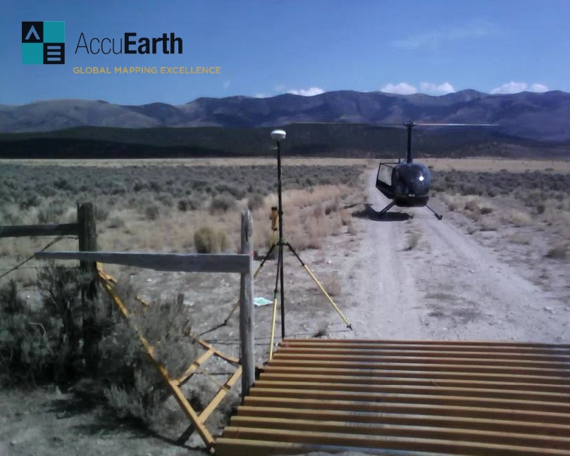
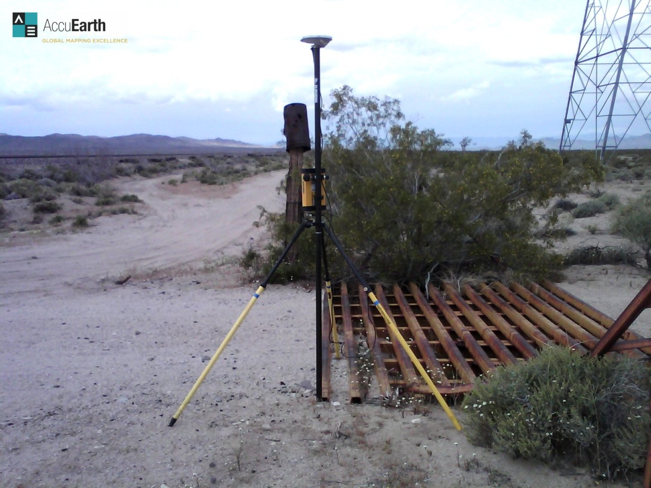
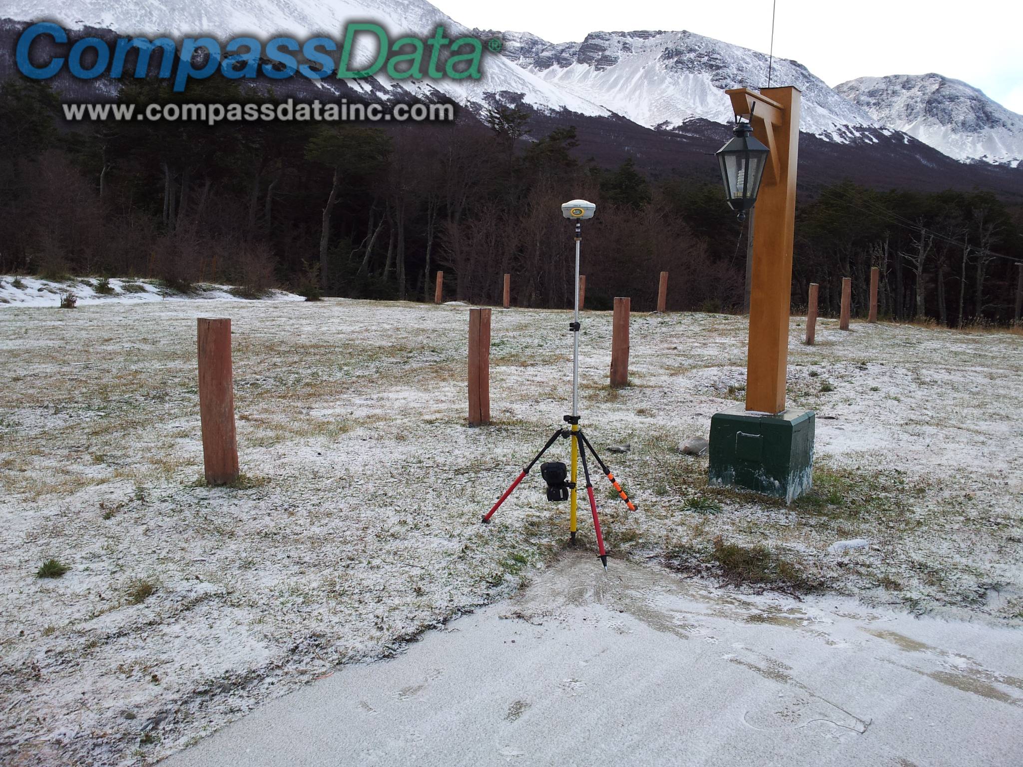
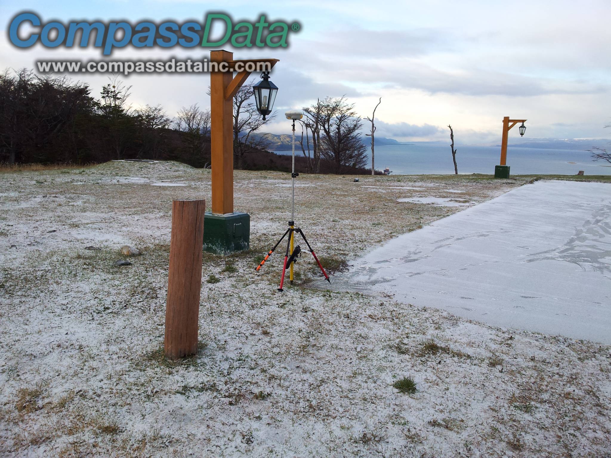
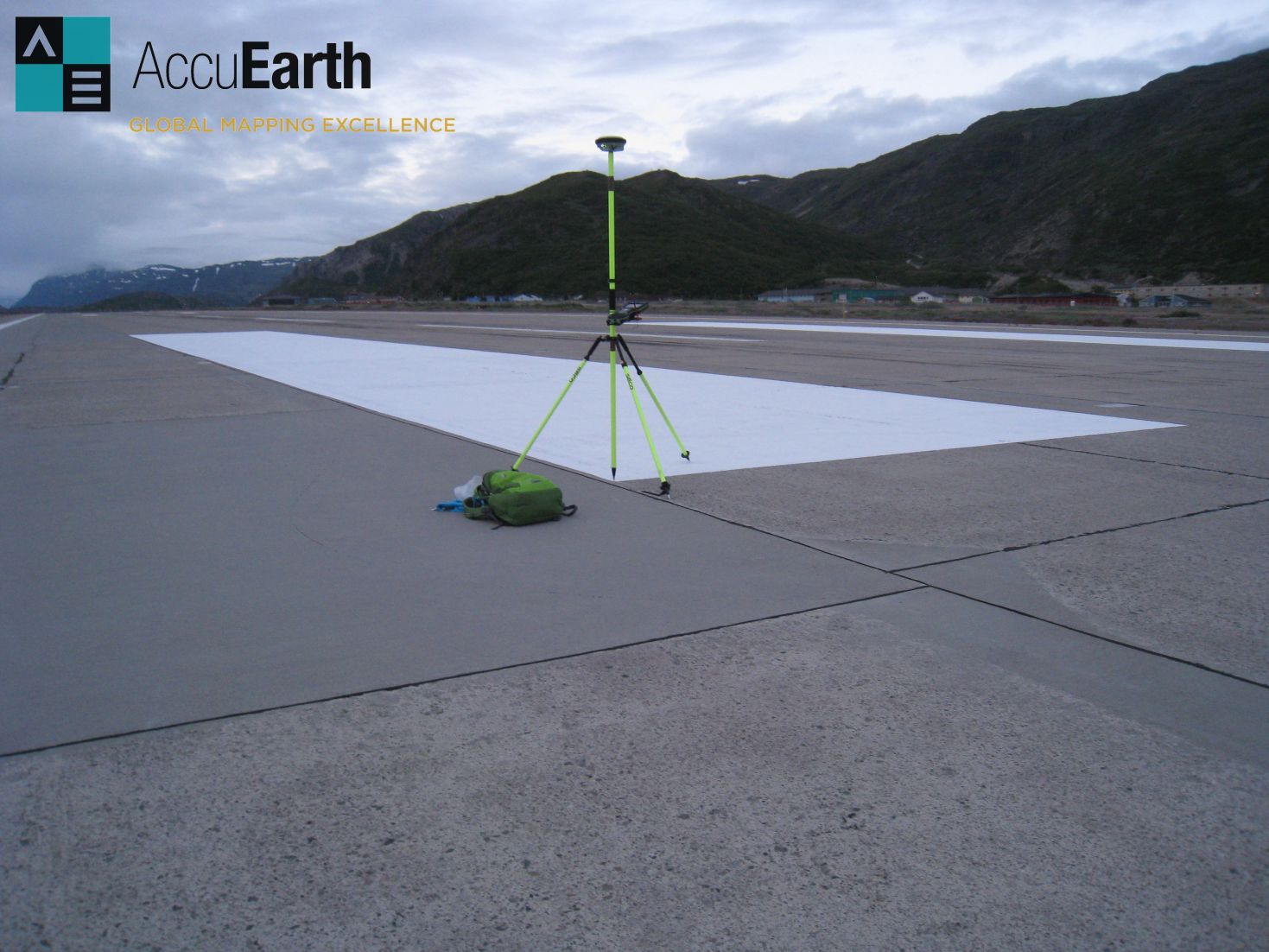
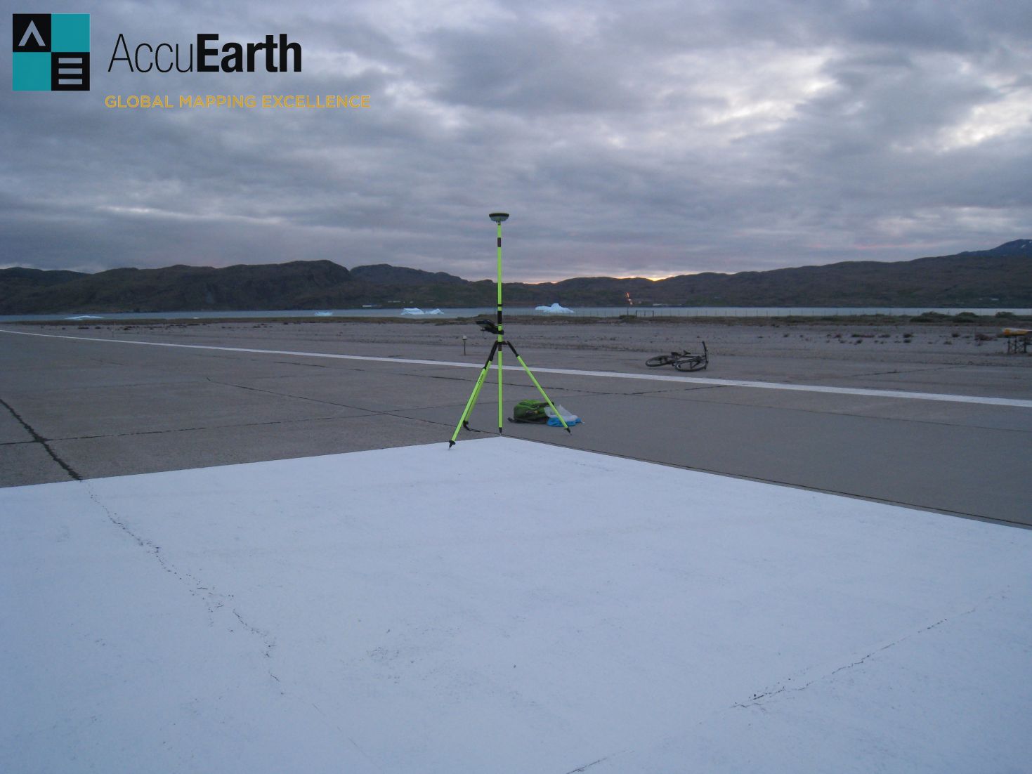
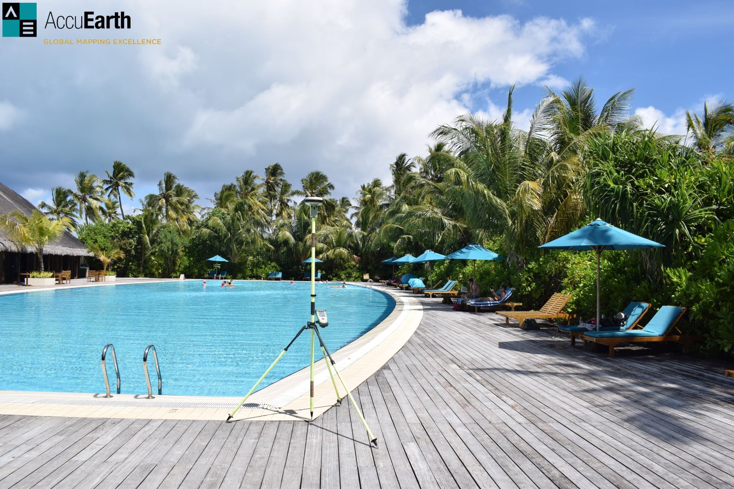
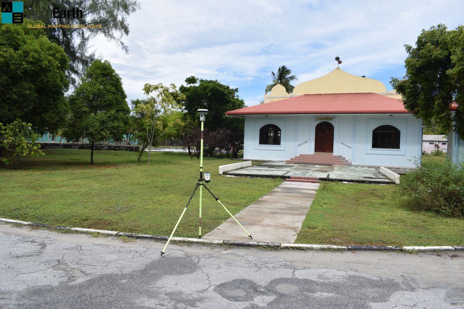
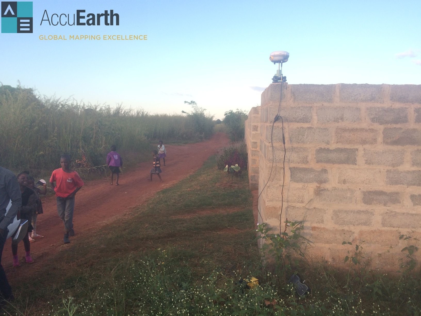
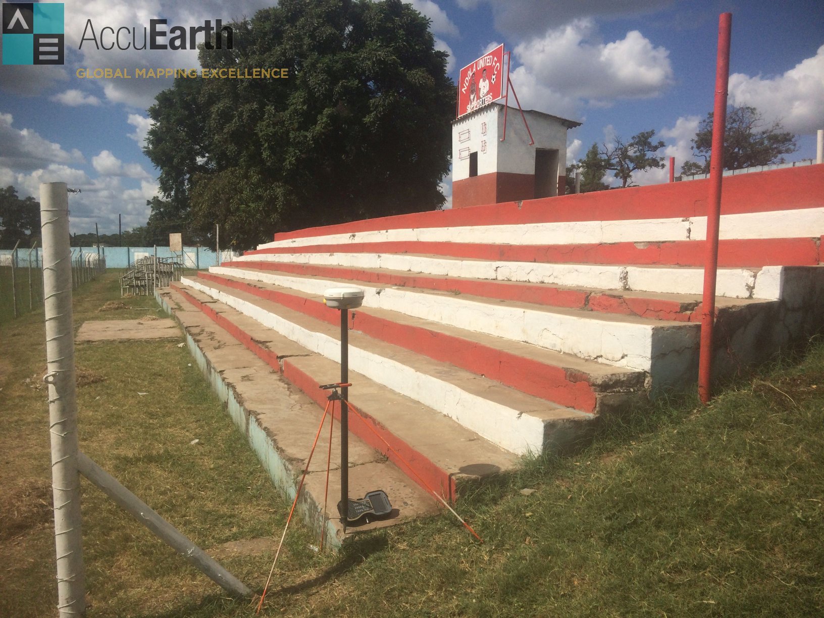
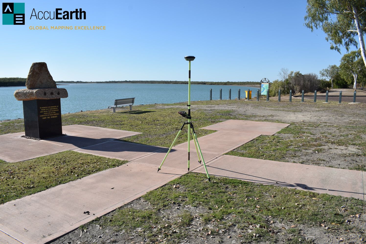
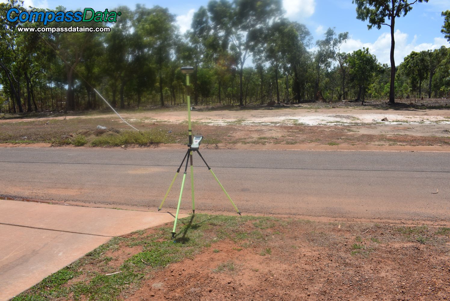
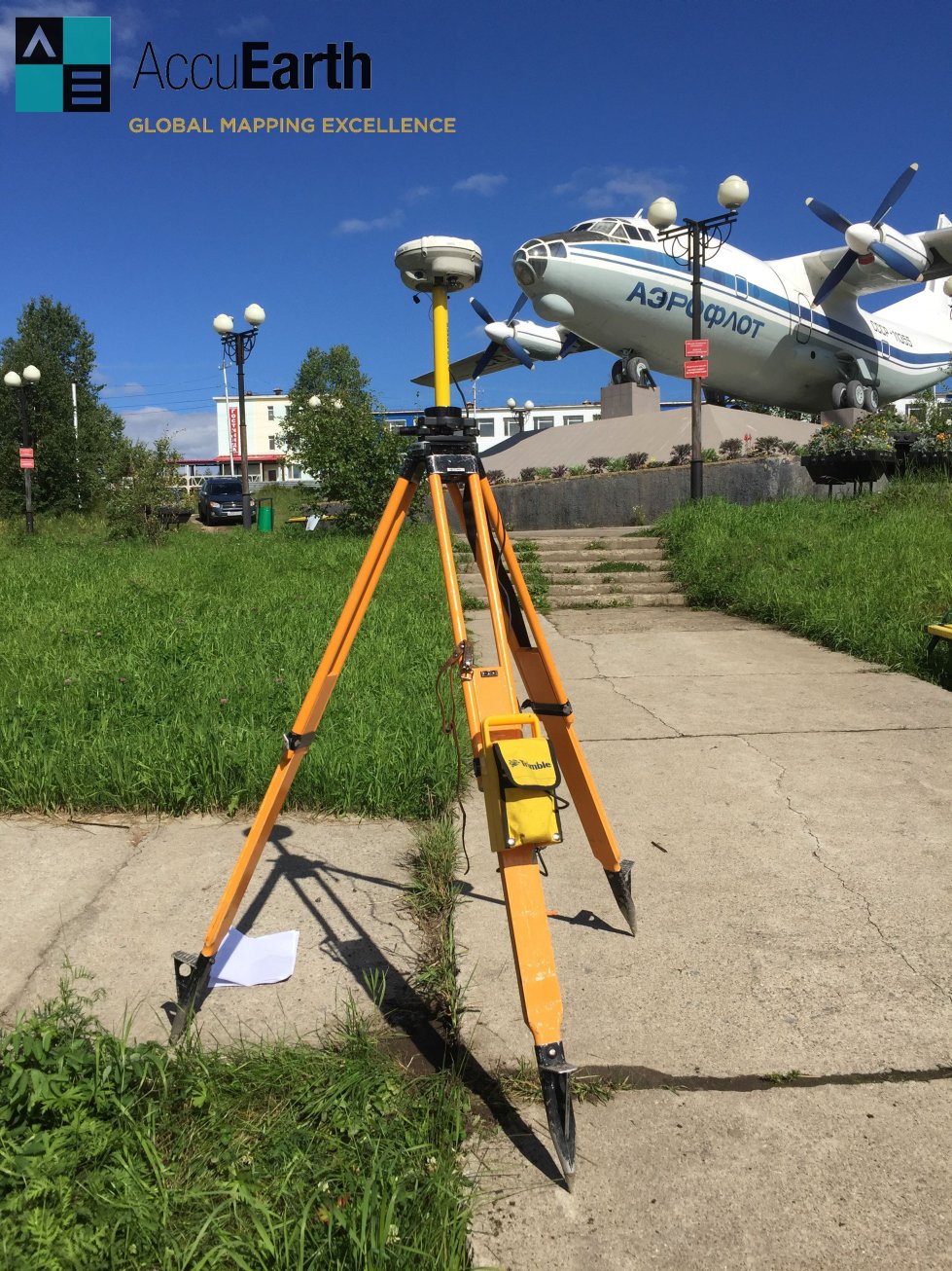
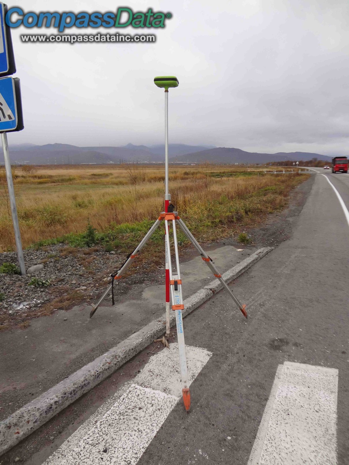
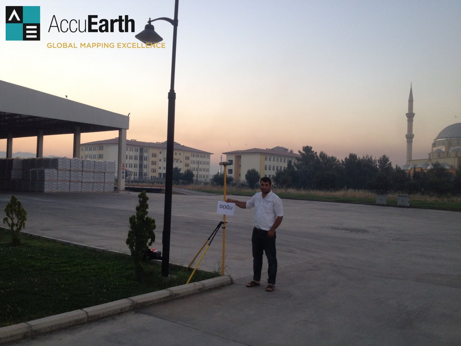

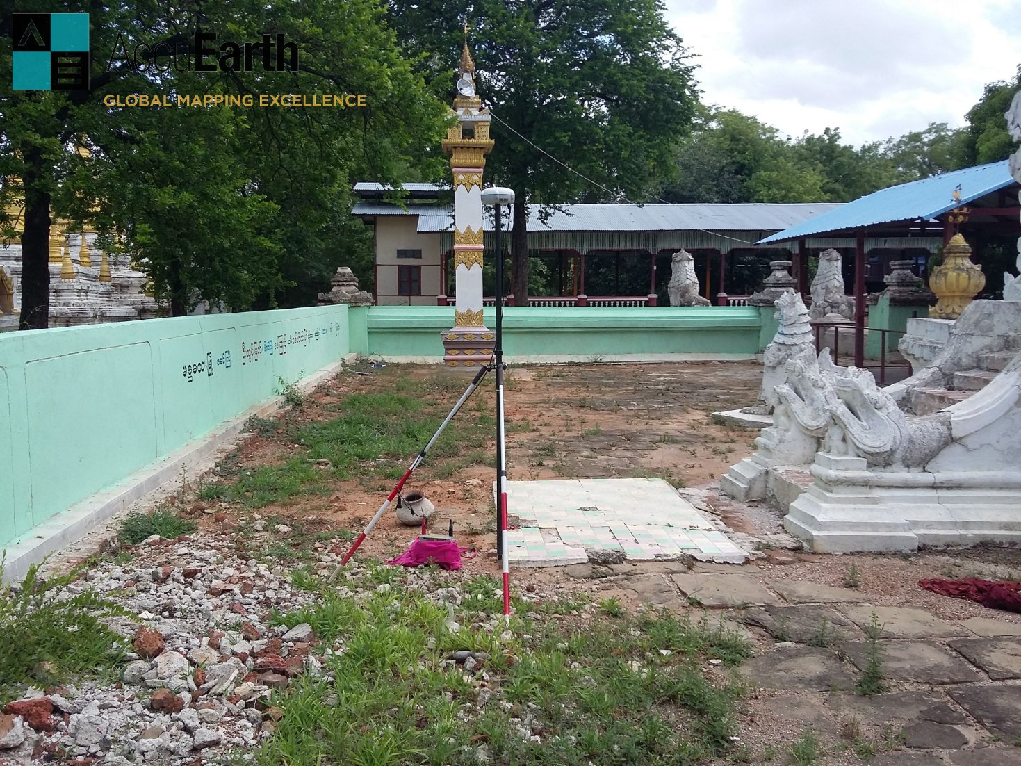
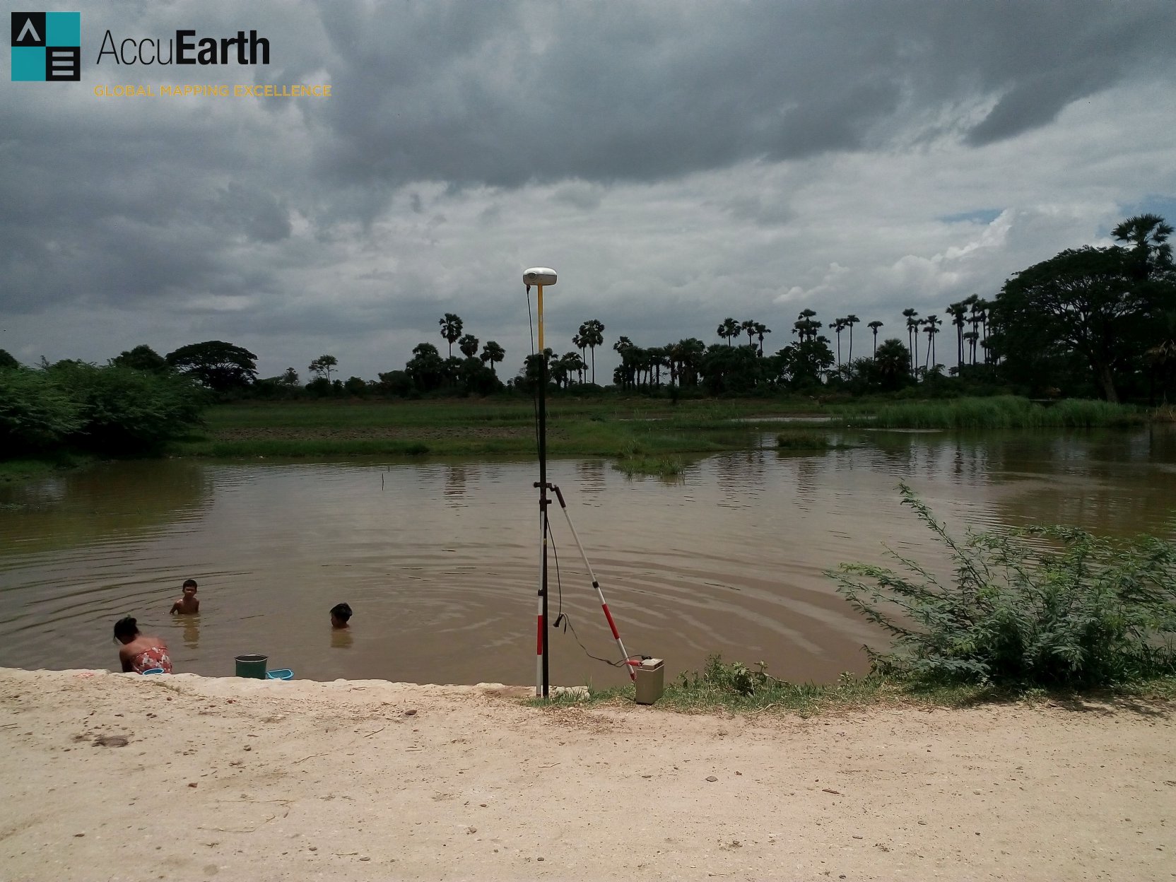
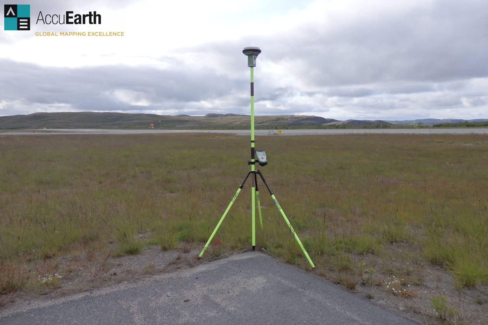
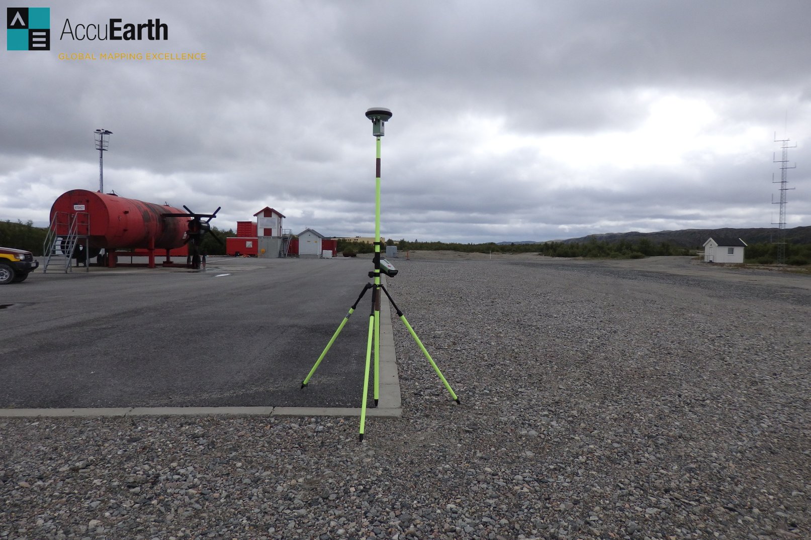
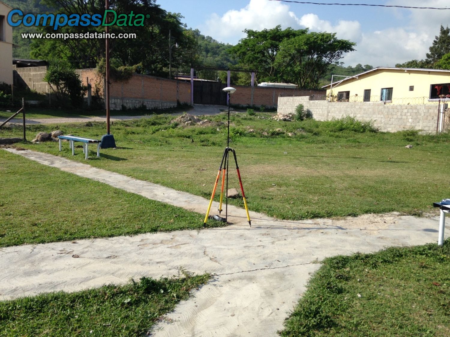
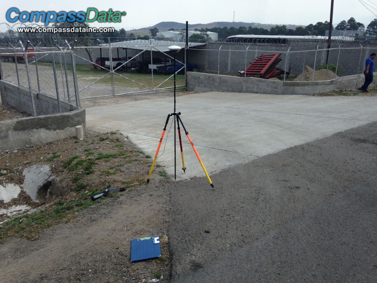
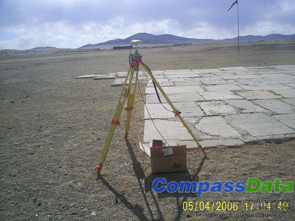
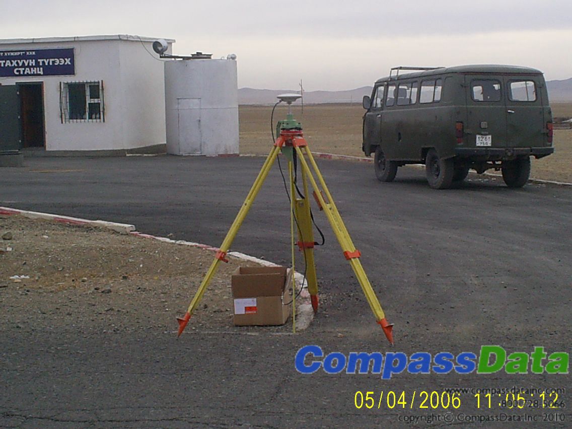
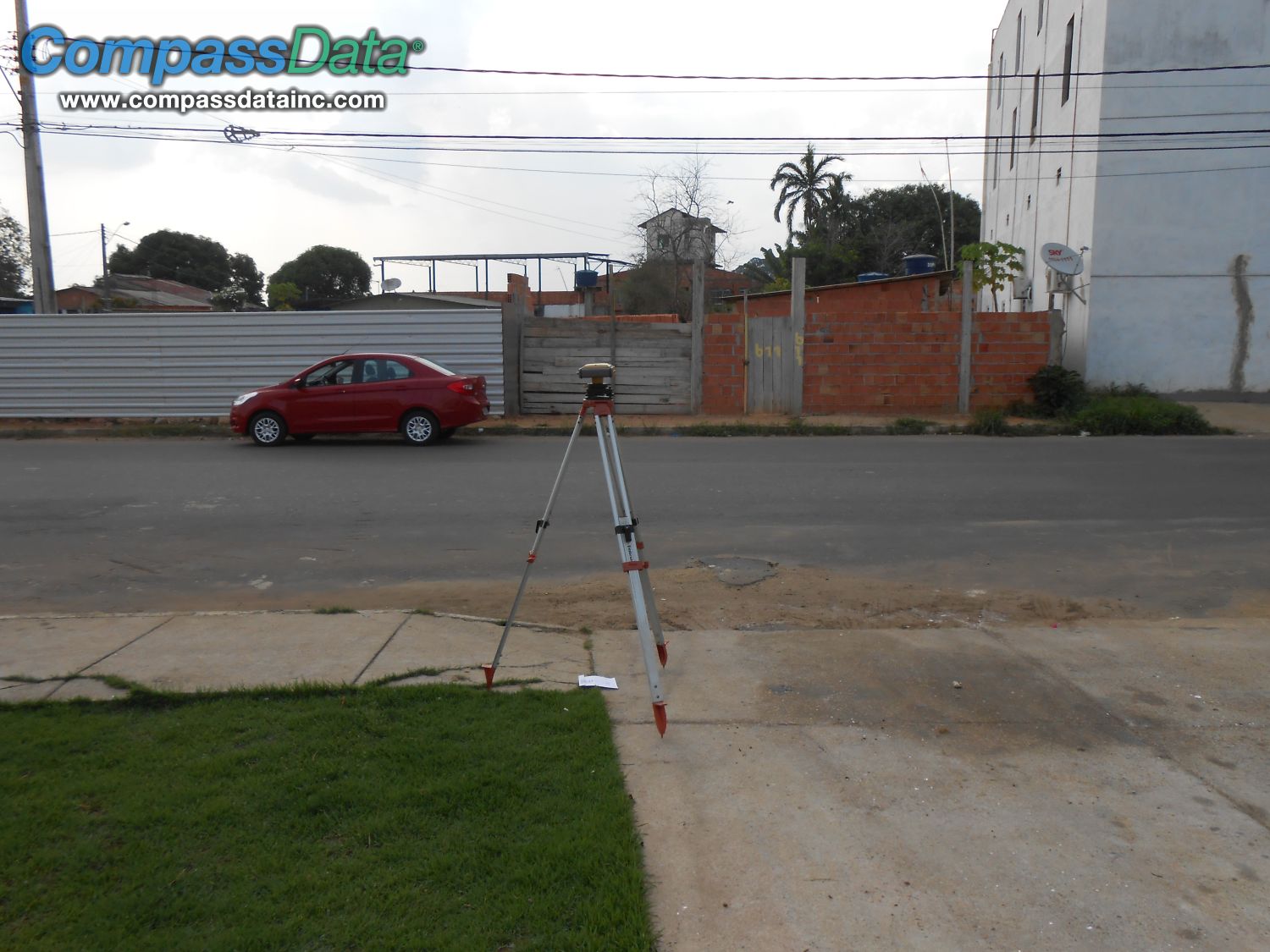
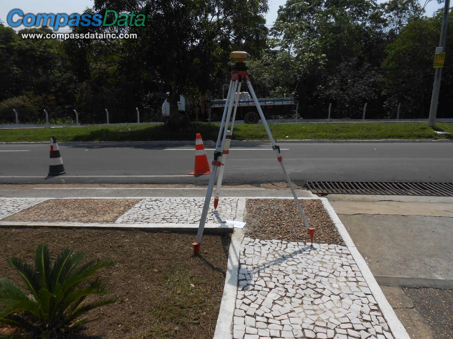
Our trained surveyors are ready to be deployed anywhere in the world to collect accurate GCPs. We have surveyed in all conceivable climate conditions, seasons, terrain, political regimes, and socio-economic situations. We surveyed Alaskan mountains, Greenland shores, Norwegian Lapland's valleys as well as the Amazonian jungle, African savannas and the Australian outback. There are few places that remain untouched by our surveyors. The last continent left for us to survey is Antarctica!


